

Köln-Alteburg

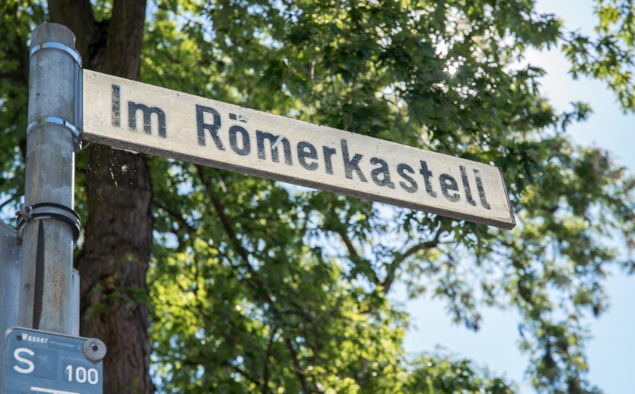
The street names “Römerkastell” and “Auf dem Römerberg” indicate that a Roman navy base was once positioned here.
Image:

The street names “Römerkastell” and “Auf dem Römerberg” indicate that a Roman navy base was once positioned here.

Classis Germanica naval base

From about 10 to 270/280 AD the only navy camp along the Lower German Limes occupied the area now known as Köln-Marienburg (formerly Alteburg). Excavations have uncovered various structures confirming the existence of exterior walls, initially of wood and later of stone, the camp’s main street, its army barracks and command headquarters. The camp’s location has meant that the great majority of these finds have survived in remarkably good condition. You can still imagine why the Romans chose to establish their naval base on this raised terrace well above the floodplains.

Access: public and private

Note:
The archaeological remains that make up the Lower Germanic Limes (NGL) UNESCO World Heritage Site are all very well preserved. Most of these structures are buried underground and well protected. Some are visible above ground. So far, there is very little on-site information explaining the history and significance of these finds. We are currently working on a comprehensive package of information and presentation resources to promote public understanding of these sites.
The best Roman sites in North Rhine-Westphalia

Ausgrabungszone im Dom

Domkloster 4
50667 Köln
Deutschland

Vorgängerbauten des Kölner Doms sowie römisches Siedlungsareal

N 50°56'29" E 6°57'26"
> Learn more

Abschnitt Via Belgica, Vicus mit Gallo-römischem Umgangstempel

Gladbacher Straße 58
50189 Elsdorf
Deutschland

Vom 1. bis ins 4. Jahrhundert bewohnte römische Siedlung an der Via Belgica mit gallorömischem Umgangstempel, Bestattungen, einer Straßenstation und Gutshöfen.

N 50°56'11" E 6°34'1"
> Learn more

Gräberfeld

Am Alten Bahnhof
50354 Hürth-Hermülheim
Deutschland

Gräberfeld mit 45 Bestattungen aus dem 3.-5. Jh. N. Chr.

N 50°52'45" E 6°53'29"
> Learn more

Villa rustica "Fortuna" mit Thermen und Töpferei

Römische Villa, Walbottstraße
53332 Botzdorf
Deutschland

Unterirdische Überreste eines typisch römischen Gutshofes mit Thermen und zwei Töpferöfen.

N 50°45'43" E 6°57'20"
> Learn more

Vicus Neubourheim

Königshäuschen 27
52428 Jülich
Deutschland

4,5 ha große römische Straßensiedlung mit Gärten und Werkstätten.

N 50°54'41" E 6°20'12"
> Learn more

Abschnitt Via Belgica, villa rustica, Vicus

Brünestraße Alexanderpark
52499 Baesweiler
Deutschland

Die Römerstraße Via Belgica verläuft teilweise durch das Stadtgebiet Baesweilers. Sie wird dort auf 8,2 Kilometern der Rad- und Wanderroute sowie an der Mansio am CarlAlexanderPark erfahrbar. Zur Zeit der Römer lag an der Via Belgica eine Straßensiedlung (vicus), in deren Sichtweite sich zudem ein römischer Gutshof befand. Er liegt im heutigen Ortsteil Beggendorf.

N 50°54'46" E 6°9'6"
> Learn more

Marschlager

Römerlager Anreppen
Am Römerlager
33129 Delbrück-Anreppen
Deutschland

Das Römerlager Anreppen wurde erst 1968 entdeckt. Dank der über Jahrzehnte durchgeführten Grabungen des Westfälischen Museums für Archäologie zählt heute das Römerlager Anreppen zu den wichtigsten frührömischen Denkmälern in Deutschland. Das 23 ha große Lager liegt direkt am heutigen Südufer der Lippe und hat die Form eines unregelmäßigen, lang gestreckten Ovals.

N 51°44'41" E 8°35'21"
> Learn more

Turmfundamente

Helenenstr./Ecke St.-Apern-Str.
50667 Köln
Deutschland

Die Fundamente des sogenannten Helenenturms wurden für weitere Aufbauten verwendet.

N 50°56'23" E 6°56'46"
> Learn more

Stadtmauer und wiederaufgestellter Keller

Kurt-Hackenberg-Platz 2
50667 Köln
Deutschland

Außerhalb der Stadtmauer wiedererrichteter Keller, der ursprünglich zu einem römischen Privathaus innerhalb der Stadt gehörte und an der Nord-Süd-Hauptstraße lag.

N 50°56'25" E 6°57'35"
> Learn more

Villa rustica Roderath

Villa Rustica, K 36,
53947 Nettersheim
Deutschland

Überreste einer römischen Hofanlage, bestehend wohl vom 1.-4. Jh. n. Chr.

N 50°30'12" E 6°41'41"
> Learn more
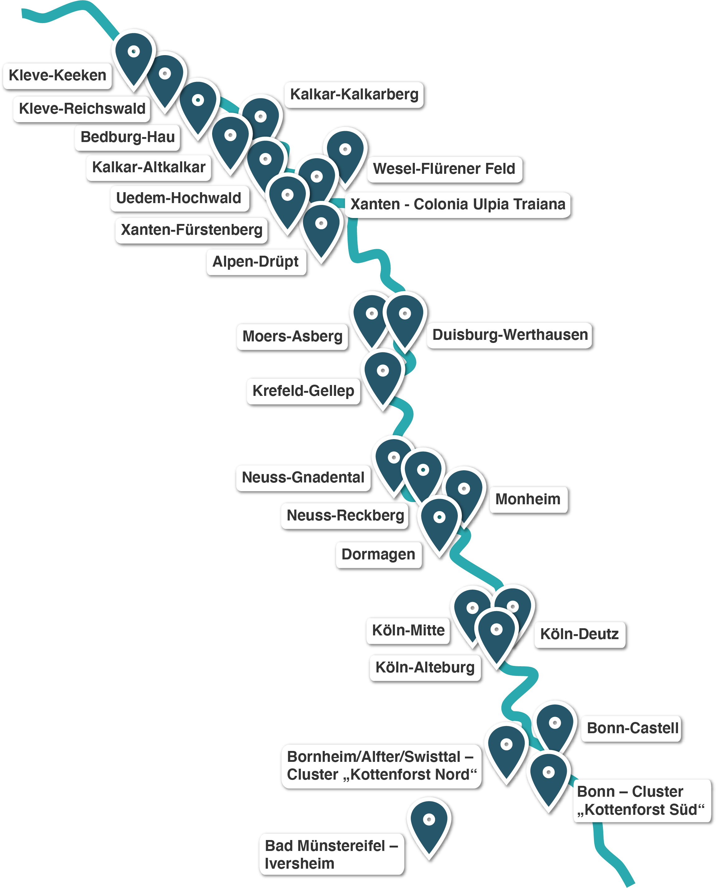
The towns and cities along the Limes in North Rhine-Westphalia
Kleve-Keeken Kleve-Reichswald Bedburg-Hau Kalkar-Kalkarberg Kalkar-Altkalkar Uedem-Hochwald Wesel-Flürener Feld Xanten - Colonia Ulpia Traiana Xanten-Fürstenberg Alpen-Drüpt Moers-Asberg Duisburg-Werthausen Krefeld-Gellep Neuss-Gnadental Monheim Neuss-Reckberg Dormagen Köln-Mitte Köln-Deutz Köln-Alteburg Bonn-Castell Bornheim/Alfter/Swisttal/ Cluster Bonn - Cluster Bad Münstereifel - Iversheim